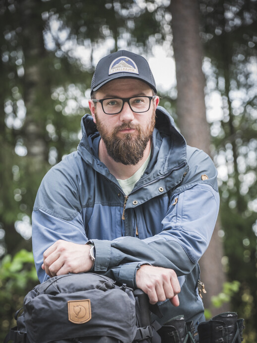
Ville
Kankare
Project Researcher, Geography
University Research Fellow, Geography
Adjunct Professor (docent) | D.Sc. (Agr. & For.)
Digital Waters Flagship (www.digitalwaters.fi)
Contact
Links
Areas of expertise
Remote Sensing | Geospatial Technologies | Laser scanning | Point cloud processing | Forest mensuration | Precision Forestry
Publications
Area-Based Mapping of Defoliation of Scots Pine Stands Using Airborne Scanning LiDAR (2013)
(A1 Vertaisarvioitu alkuperäisartikkeli tieteellisessä lehdessä )Classification of Needle Loss of Individual Scots Pine Trees by Means of Airborne Laser Scanning (2013)
(A1 Vertaisarvioitu alkuperäisartikkeli tieteellisessä lehdessä )Airborne laser scanning and digital stereo imagery measures of forest structure: comparative results and implications to forest mapping and inventory update (2013)
(A1 Vertaisarvioitu alkuperäisartikkeli tieteellisessä lehdessä )Tree mapping using airborne, terrestrial and mobile laser scanning - A case study in a heterogeneous urban forest (2013)
Urban Forestry and Urban Greening
(A1 Vertaisarvioitu alkuperäisartikkeli tieteellisessä lehdessä )
Stem biomass estimation based on stem reconstruction from terrestrial laser scanning point clouds (2013)
(A1 Vertaisarvioitu alkuperäisartikkeli tieteellisessä lehdessä )Combination of individual tree detection and area-based approach in imputation of forest variables using airborne laser data (2012)
ISPRS Journal of Photogrammetry and Remote Sensing
(A1 Vertaisarvioitu alkuperäisartikkeli tieteellisessä lehdessä )
Prediction of plot-level forest variables using TerraSAR-X stereo SAR data (2012)
Remote Sensing of Environment
(A1 Vertaisarvioitu alkuperäisartikkeli tieteellisessä lehdessä )